

How a geospatial model is helping to change climate-sensitive data paucity in WASH programming
Our scoping study in Cameroon revealed that about 9% of WASH actors leverage climate-sensitive data or understand of integrating climate change impacts into WASH programming. Amid Cameroon’s rising global warming, Douala and Yaounde face record numbers of heat waves. Children in Cameroon’s 10 refugee camps are among the most exposed in the world to WASH climate risks. A significant portion of children (44%) lack access to safe and clean drinking water, leading to waterborne diseases such as cholera, typhoid fever, and diarrhea. In the North West and South West regions, a study by UNICEF found that (2024-2025) 56% of schools have no water point, while 25% lack any sanitation facilities— making modelling climate-sensitive data into WASH imperative.
Cameroon’s climate change directly impacts more than 70% of the population. With a 4°C temperature rise, a 50% decrease in water availability could occur in East Africa and the Middle East. In Africa (and other developing countries), the incidence of diarrhea is expected to increase by around 5% for every 1°C increase in temperature. Globally, of the US$2.5 trillion economic losses from disasters so far this century – 70% relate to floods and droughts. With a 2°C global temperature rise, up to 10 million more people (mostly children) could be affected by coastal flooding each year.
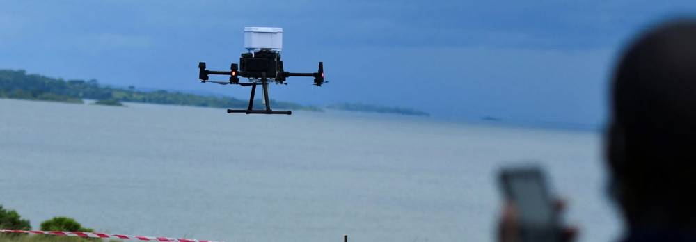
I4RAI has developed a geospatial model to understand the intersection between climate-related factors and WASH programming. These models identify areas where climate factors are disproportionately linked to WASH programming. Based on them, we collect and analyze climate-sensitive data. The visualizations and data are shared on a dashboard for WASH practitioners to plan focused interventions (modeling the long-term sustainability of water resources, and boosting the resilience of their services). Models are enriched with open-source climate datasets, remote sensing and field data. Models have also been persuasively used to boost the capacity of SMEs to contribute to WASH governance and services.
First map of Wum's village-level multidimensional climate-sensitive index below:

In Cameroon and most of Central Africa, no platform currently focuses on WASH climate data only. Insufficient climate-sensitive data and understanding of integrating climate change impacts into WASH programming in the region and beyond presents enormous challenges to WASH practitioners. Our users and stakeholders approve of our solution at 100%.
We are targeting community health workers, other health officials, WASH practitioners (including WASH SMEs), and government officials (Ministry of Health, Ministry of Infrastructure, Ministry of Education, Ministry of Interior, Ministry of Women Affairs) involved in planning and implementing national WASH policies. We consulted with over 200 of these diverse users during our scoping study and integrated their views into our approach and solution.
Our solution is aimed at reducing the percentage of people affected by climate change’s direct impact, whose livelihood depends directly on agriculture, and who are often left behind in governmental planning and action. To factor in inclusion and reduce inequalities, our first pilot was in Bali, an Anglophone village in the Northwest, marked by decades of conflict (with the central government) and neglect. Our solution will help protect over 70% of populations, especially children, at risk of extreme poverty, conflict, discrimination, or exclusion.
Pilot phase impact
About 2,500 community health workers reached; 850,000 children covered in Wum and Kumbo alone; WASH actors leveraging climate-sensitive increased by 75%; 90% understand of integrating climate change impacts into WASH programming; 50% costs/time saved.